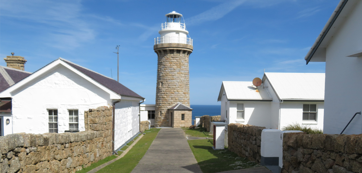
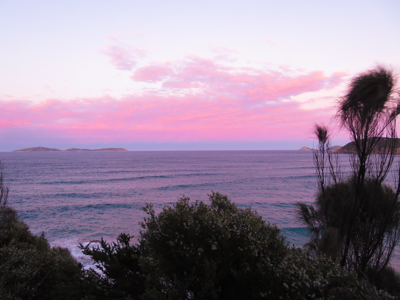
It had been six years since I had been to the Prom, and I was looking forward to a new challenge this time around - walking to the Wilsons Promontory Lightstation. It is possible to book and stay overnight at the Lightstation, but this time around I was just aiming to walk there and back in a day.
I started out early in the morning from our accommodation in Tidal River. The normal track that I would have taken was closed due to renovations to the Visitor Centre, so I needed to walk down towards Norman Beach and through the carpark to join the track out towards Norman Point.
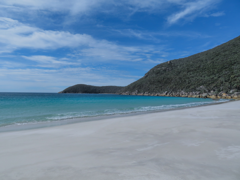
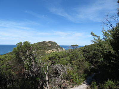
From there, the route was to Little Oberon Bay, then onto Oberon Bay. The Oberon Beach Campsite was about 10km into the walk from Tidal River. From here I left the beach behind and cut straight across the centre of the Prom, via Telegraph Junction across to Little Waterloo Bay. There is a more direct route from Telegraph Junction down to the Lightstation, but I was keen to walk a different path there and back.
In hindsight, taking the path from Telegraph Junction down to the Lightstation and then doing the loop via Little Waterloo Bay on the way back would have been a better idea. I was making good time at Little Waterloo Bay, which is about 20km into the walk, but I didn't realise that between here and the Lightstation the track was 90% uphill. The first 20km took me around 5 hours, so an easy pace of around 4km per hour. It took me over an hour just to walk the following two kilometres!
This put me well behind my planned time, and soon after leaving Little Waterloo Bay I also lost phone coverage (Note: I had an old phone and was with Optus at the time and I'm not sure whether Telstra would have been better. I also had a PLB with me in case I got into trouble)
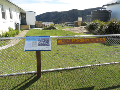
The route I took saw me reach the Lightstation at around the 28km mark, eight hours into the walk. I had planned for it to take somewhere between six and seven, and then to have about an hour rest break for lunch. But because I was so far behind schedule, I only stopped for around 20 minutes to have a look around and take some photos. There was nobody else there at the time, except for a very friendly wombat!
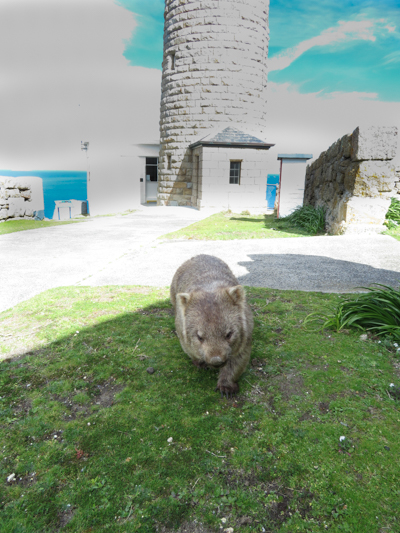
There are some interesting signs around the Lightstation. Some highlights…
The Lightstation began construction in 1857 and was operational by 1859. In 1873 a single galvanised iron wire telegraph line enabled morse code communication with the outside world. This was upgraded during WWII to be four copper wires. Weather observations have been conducted at the Lightstation since 1872. These were conducted by the Light-keepers from then until an automatic weather station was installed in September 2000. Between September and December 1880, Victorian State School Number 2278 operated at the Lightstation.
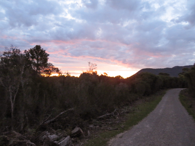
The trip back was via Roaring Meg, Halfway Hut and Telegraph Junction. Phone coverage kicked in again around Halfway Hut. Originally I had planned to walk back via Oberon Bay, but as it was soon to get dark, I felt the shorter walk (6km v 12km) up to Telegraph Saddle was the better option. It is essentially a single vehicle track, so no chance of missing any turnoffs or getting lost. Unfortunately it is all uphill, whereas much of the walk around Oberon and Little Oberon is flat. But on the other hand, there are no water crossings! Always handy to have somebody to pick you up at the end of a walk.
I reached the carpark at Telegraph Saddle in 13 hours, 28 minutes and 52 seconds, with a recorded distance of 47.68km. An average pace of 16:57 min/km and an overall elevation gain of 1,232 metres.
If I were to do it again, I would definitely do it in the opposite direction, starting at Telegraph Saddle, walking straight down to the Lightstation and then around via Little Waterloo on the way back. Although, if I were to do it again I'd plan to stay the night at the Lightstation!
Lloyd McLean
Lloyd McLean is from Melbourne, Australia and enjoys writing, speaking and going on adventures!